
Eagles Rest
Eagles Rest Trail, located near Lowell, is a moderately challenging 12.6-mile round trip hike that offers hikers a rewarding experience with stunning views of surrounding hills. The trail features a gradual incline, passing through second-growth forests and crossing marshy swales on boardwalks, culminating at the summit where a fire lookout once stood.
Trail Summary
Trailhead: Hardesty Lower Trailhead
Length: 12.6 Miles Round Trip
Elevation: 1,400 ft. Ascent from the Trailhead
Difficulty: Moderate to Challenging
Surface Conditions: Varying Conditions with Rocky Areas Near the Summit
Surface Conditions and Terrain
The Eagles Rest Trail offers a diverse hiking experience with varying surface conditions and terrain. The trail passes through stands of second-growth trees, providing a shaded and scenic route. Hikers will encounter two marshy swales crossed by boardwalks, ensuring safe passage over wet areas. The first two miles of the trail from the lower trailhead feature a relatively slow incline, making it accessible for most hikers. As the trail progresses, it becomes slightly steeper, particularly after the upper trailhead. Some sections of the upper trail may have poison oak, so hikers should be cautious. The path includes open rocky areas near the summit, which offer beautiful wildflower displays in late spring. The trail’s surface is generally well-maintained, but hikers should be prepared for occasional rough or uneven terrain, especially in the steeper sections. Overall, the trail’s moderate difficulty and varied terrain make it suitable for hikers seeking a rewarding challenge without extreme difficulty.
Sources:
Related Articles
Biking, Events, Outdoors, Sports & Wildlife

Published October 16, 2026 The 2026 Eugene-Springfield Metro Community Wildfire Protection Plan identified the highest-risk wildfire zones in the metro area,...

Published October 15, 2026 The Dexter Reservoir area featured a riverside trail extending approximately 5 miles from the Dexter Dam to Elijah Bristow State Park. The...

Published October 14, 2026 Eugene Springfield Fire provides extensive public education on smoke alarm types and placement to keep residents safe. While they offer...

Published October 13, 2026 Ninkasi Brewing Company is a Eugene-based microbrewery founded in 2006 by Jamie Floyd and Nikos Ridge in the Whiteaker neighborhood. It is...

Published October 12, 2026 There is currently no verified information regarding a specific expansion or construction project for the Eugene Public Library in Fall 2026....

Published October 11, 2026 Lookout Point Lake in Lowell, Oregon, features the easy North Shore Trail along its reservoir. Visitors can enjoy year-round fishing,...

Published October 10, 2026 Lane County residents can schedule free household hazardous waste drop-offs at the Glenwood Transfer Station in Eugene. Appointments are made...

Published October 9, 2026 Valentine's Day 2027 falls on February 14, offering opportunities for romantic dining in Eugene and winter getaways in the Willamette Valley....
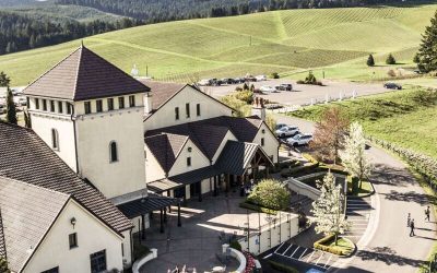
Published October 8, 2026 King Estate Winery is a Biodynamic-certified estate located on 1,033 acres southwest of Eugene. It features a tasting room, an on-site...
Published October 7, 2026 As of October 2026, all tracked waitlists at the Housing Authority & Community Services of Lane Co (HACSA) remained closed to new...
Published September 28, 2026 The primary holiday market in Lane County for 2026 is the Eugene Saturday Market Holiday Market held at the Lane Events Center. It runs on...
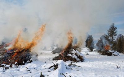
Published September 29, 2026 Outdoor burning in Lane County is regulated by the Lane Regional Air Protection Agency (LRAPA). Residential debris burning typically occurs...
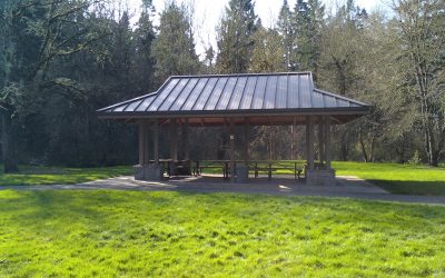
Published October 2, 2026 Lane County Parks picnic shelters and day use group sites are reserved online through the official county reservation portal. A non-refundable...
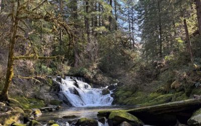
Published September 16, 2026 Late winter in Lane County offers diverse hiking options including the multi-tiered falls of Sweet Creek and the summit of Spencer Butte....
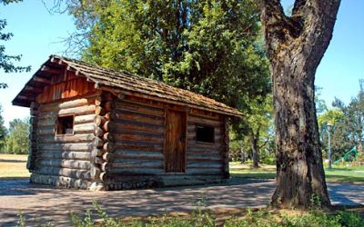
Published September 12, 2026 Lane County offers a variety of winter retreats, including the highly-rated Gorgeous Pacific Northwest Private Lodge in Southeast Eugene...

Published September 11, 2026 Falling Sky Brewing is a Eugene-based microbrewery founded in 2012 that focuses on local Oregon-grown ingredients and farm-to-pint...

Published September 10, 2026 The Fall Creek Falls Trail was a family-friendly 2. Fall Creek Falls Trail: Fall Creek Falls Trail — Lane County, Oregon The Fall Creek...

Published September 7, 2026 Territorial Vineyards & Wine Company is an urban winery located in Eugene's Whiteaker neighborhood. They feature Willamette Valley...

Published September 5, 2026 Residents in Eugene schedule bulky waste pickup by contacting one of the city's licensed haulers, such as Sanipac or Royal Refuse....
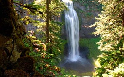
Published September 6, 2026 Salt Creek Falls Overlook is a short trail in the Willamette National Forest featuring a 286-foot single-drop waterfall. Located off Highway...