
Alsea Falls Loop
The Alsea Falls Loop Trail, located in Oregon’s Coast Range southwest of Philomath and west of Monroe, offers visitors a scenic hiking and mountain biking experience featuring beautiful waterfalls and lush forest landscapes. This trail system, managed by the Bureau of Land Management, has gained popularity for its diverse terrain and well-maintained paths suitable for various outdoor activities.
Trail Summary
Trailhead: Located at the Alsea Falls Recreation area about 45 minutes south of Corvallis.
Access: Stellar Jay/Hard Rock Trailhead, Alsea Falls/South Fork Mile Trailhead, Green Peak Falls Trailhead, and the 14-6-9 and 14-7-36 Trailhead.
Length: 9.6 miles.
Elevation Gain: 1,282 feet maximum, but depends on how much of the loop traversed.
Difficulty: Moderate for the main loop.
Landmarks: Alsea Falls, Greenpeak Falls.
Trail Difficulty and Suitable Skill Levels
The Alsea Falls Loop Trail system offers a range of difficulty levels suitable for various skill levels, from beginners to advanced hikers and mountain bikers. The main loop trail is generally considered moderately challenging, taking an average of 1 hour to complete for hikers. For mountain bikers, the difficulty ranges from beginner to advanced, with more challenging trails located at higher elevations. The trail to Alsea Falls and Green Peak Falls is rated as easy to moderate, making it family-friendly and accessible to most hikers. However, some sections of the trail feature steep inclines and stairs, which may pose challenges for less experienced hikers or those with mobility issues. The diverse terrain and well-maintained trails cater to a wide range of outdoor enthusiasts, allowing visitors to choose routes that match their abilities and preferences.
Nearby Landmarks and Attractions
The Alsea Falls Recreation Area offers more than just the loop trail, with several notable landmarks and attractions nearby. The centerpiece of the area is Alsea Falls itself, a 20-foot waterfall that can be easily accessed via a short trail from the campground or recreation area. Another highlight is Green Peak Falls, a more impressive 60-foot cascade located a short hike from Alsea Falls. These waterfalls are particularly spectacular during the spring when snowmelt and rainfall increase water flow.
The area is also known for its rich biodiversity. Visitors can observe various plant species, including fairyslipper, fawn lily, and trillium, which add splashes of color to the forest floor. Wildlife enthusiasts may spot American Dippers nesting near the waterfalls, as well as Winter Wrens and Chestnut-backed Chickadees in the surrounding forest. For those interested in extending their outdoor experience, the Alsea Falls Campground provides overnight accommodations, though it’s important to note that the campground and some facilities are seasonal, typically closed from mid-December to mid-May.
Sources:
Oregon Hikers, MTB Project, Trail Forks, All Trails, The Right Trail
Related Articles
Biking, Events, Outdoors, Sports & Wildlife

Published October 16, 2026 The 2026 Eugene-Springfield Metro Community Wildfire Protection Plan identified the highest-risk wildfire zones in the metro area,...
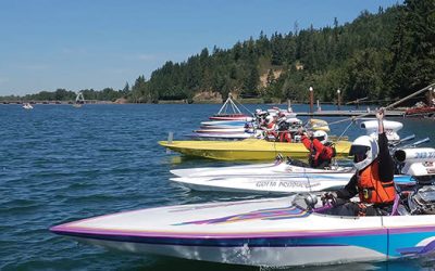
Published October 15, 2026 The Dexter Reservoir area featured a riverside trail extending approximately 5 miles from the Dexter Dam to Elijah Bristow State Park. The...

Published October 14, 2026 Eugene Springfield Fire provides extensive public education on smoke alarm types and placement to keep residents safe. While they offer...
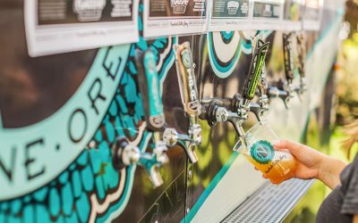
Published October 13, 2026 Ninkasi Brewing Company is a Eugene-based microbrewery founded in 2006 by Jamie Floyd and Nikos Ridge in the Whiteaker neighborhood. It is...
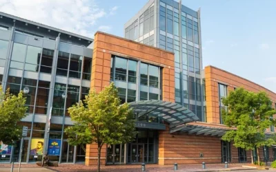
Published October 12, 2026 There is currently no verified information regarding a specific expansion or construction project for the Eugene Public Library in Fall 2026....
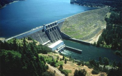
Published October 11, 2026 Lookout Point Lake in Lowell, Oregon, features the easy North Shore Trail along its reservoir. Visitors can enjoy year-round fishing,...

Published October 10, 2026 Lane County residents can schedule free household hazardous waste drop-offs at the Glenwood Transfer Station in Eugene. Appointments are made...

Published October 9, 2026 Valentine's Day 2027 falls on February 14, offering opportunities for romantic dining in Eugene and winter getaways in the Willamette Valley....
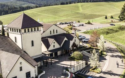
Published October 8, 2026 King Estate Winery is a Biodynamic-certified estate located on 1,033 acres southwest of Eugene. It features a tasting room, an on-site...
Published October 7, 2026 As of October 2026, all tracked waitlists at the Housing Authority & Community Services of Lane Co (HACSA) remained closed to new...
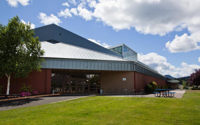
Published September 28, 2026 The primary holiday market in Lane County for 2026 is the Eugene Saturday Market Holiday Market held at the Lane Events Center. It runs on...
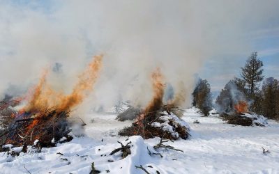
Published September 29, 2026 Outdoor burning in Lane County is regulated by the Lane Regional Air Protection Agency (LRAPA). Residential debris burning typically occurs...
Published October 2, 2026 Lane County Parks picnic shelters and day use group sites are reserved online through the official county reservation portal. A non-refundable...
Published September 16, 2026 Late winter in Lane County offers diverse hiking options including the multi-tiered falls of Sweet Creek and the summit of Spencer Butte....
Published September 12, 2026 Lane County offers a variety of winter retreats, including the highly-rated Gorgeous Pacific Northwest Private Lodge in Southeast Eugene...

Published September 11, 2026 Falling Sky Brewing is a Eugene-based microbrewery founded in 2012 that focuses on local Oregon-grown ingredients and farm-to-pint...
Published September 10, 2026 The Fall Creek Falls Trail was a family-friendly 2. Fall Creek Falls Trail: Fall Creek Falls Trail — Lane County, Oregon The Fall Creek...

Published September 7, 2026 Territorial Vineyards & Wine Company is an urban winery located in Eugene's Whiteaker neighborhood. They feature Willamette Valley...
Published September 5, 2026 Residents in Eugene schedule bulky waste pickup by contacting one of the city's licensed haulers, such as Sanipac or Royal Refuse....
Published September 6, 2026 Salt Creek Falls Overlook is a short trail in the Willamette National Forest featuring a 286-foot single-drop waterfall. Located off Highway...