
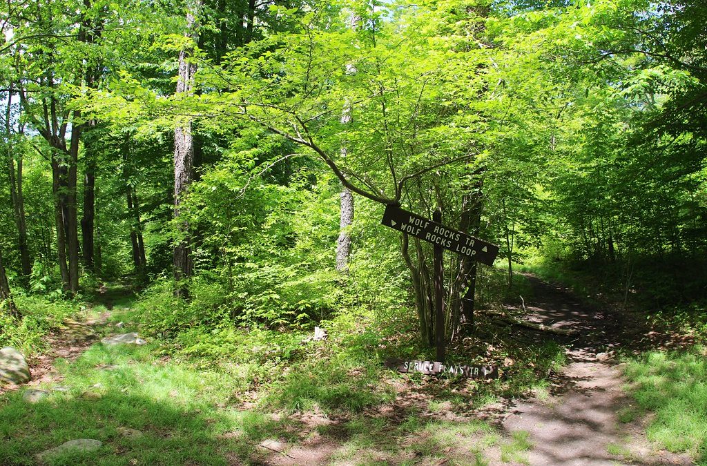
Willamette National Forest, Lane County
The Wolf Rock Scramble is a challenging journey to the top of Oregon’s largest monolith, a massive volcanic plug that stands as a testament to the region’s geological history. This striking formation was created when the hard-core plug of an ancient volcano remained after the surrounding softer rock eroded away over millions of years. Reaching the summit at 4,535 ft provides a rewarding experience with panoramic views of the central Oregon Cascades, as the rock towers between 900 and 1,000 feet above the surrounding landscape. For those seeking a rugged alternative to the standard forest trails, this scramble offers a unique blend of hiking and exposed rock movement.
Trailhead Location and How to Get There
Getting to the Wolf Rock Scramble requires a drive into the heart of the Willamette National Forest. If you are starting from Eugene or Springfield, the most direct route is to take Highway 126 east. Continue for approximately 44 miles until you reach Road 15. At this junction, turn left at the sign indicating the way to the Blue River Reservoir.
Once you have turned onto Road 15, continue for another 13.6 miles. You are looking for the climbers trail, which serves as the starting point for the normal route up the monolith. Because this area is remote, we recommend downloading offline maps before leaving the city, as cell service is unreliable once you leave the main highway. Be mindful of road conditions, as forest roads in Lane County can vary significantly depending on the season and recent weather events.
Wolf Rock Scramble Route Details
The Wolf Rock Scramble is not a traditional groomed trail; rather, it is an out-and-back route that demands a high level of effort. According to All Trails, the route is approximately 2.3 km in length with an elevation gain of 386 m. Due to the steepness and the technical nature of the ascent, it is rated as strenuous.
The journey begins on a rugged social trail, which is a path formed by the footsteps of previous visitors rather than a maintained park trail. As you ascend, the path leads you into a steep gully. From there, the experience transitions from hiking to scrambling. You will find your self moving over exposed rock slopes, using your hands for balance and stability as you navigate the volcanic terrain to reach the summit. The final push to the top is the most demanding part of the Wolf Rock Scramble, requiring focus and steady footing.
Safety and Difficulty for the Wolf Rock Scramble
It is important to understand that the Wolf Rock Scramble is rated as Class 3. In climbing terms, this means that while you may not need a full rope system for the hiking route, the terrain is steep enough that a fall could result in significant injury. The route is characterized by minimal trail markings, meaning navigation is based on visual cues and the general direction of the gully.
One of the primary hazards on this route is the risk of rock-fall. Because the monolith is composed of ancient volcanic material, loose stones can be dislodged by hikers above. For this reason, helmets are strongly recommended for everyone participating in the Wolf Rock Scramble. Additionally, the rock surface can become incredibly slick when wet. We strongly advise against attempting this scramble during or immediately after heavy rainfall, as the lack of traction on the exposed slopes increases the danger of sliding.
What to Bring and Trail Regulations
Preparation is key for a successful trip to the Wolf Rock Scramble. Because of the technical nature of the terrain, you should bring the following gear:
- Helmets: Essential for protection against falling debris from other climbers.
- Sturdy Hiking Boots: Footwear with aggressive tread is necessary for gripping the volcanic rock.
- Ample Water: The exposed nature of the rock can lead to rapid dehydration in the sun.
- Navigation Tools: A physical map or a reliable GPS device.
Regarding regulations, visitors should be aware that dogs are not allowed on the Wolf Rock Scramble trail. This restriction is likely in place due to the steep, rocky terrain and the potential for pets to become stranded or injured on the Class 3 slopes. When you finally reach the summit, you will find a local point of interest: a summit register kept inside an old ammo box. This register provides a glimpse into the history of the peak, noting that typically only 5 to 20 people successfully climb the rock each year.
Beyond the Hike: Climbing and Local Exploration
While the Wolf Rock Scramble is the primary route for hikers, the monolith is also a destination for technical rock climbers. The most famous route on the rock is known as Barad-Dur. This is an 8-pitch route rated at 5.11a, first established in 1972. While the hiking route is generally considered Class 2 to Class 3, Barad-Dur is a serious undertaking for experienced climbers.
After completing such a strenuous activity, we recommend exploring other side of Lane County’s natural beauty. If you are visiting during the spring, you can check out the Lane County wildflowers to see the seasonal blooms across the valley. For those who prefer a more relaxed pace after a day in the Willamette National Forest, a trip back into Eugene for a high-quality meal is a great way to recover. We suggest visiting Marché Restaurant at the 5th Street Market for a sophisticated dinner to celebrate your summit achievement.
Whether you are drawn by the geological wonder of the volcanic plug or the physical challenge of the ascent, the Wolf Rock Scramble offers one of the most unique perspectives of the Oregon landscape. Just remember to respect the wilderness, stay safe on the exposed slopes, and leave no trace behind.