Eugene, Oregon
Few landmarks define the southern skyline of Eugene quite like the towering presence of Spencer Butte. For many residents and visitors, the Spencer Butte Loop served as the quintessential city hike, offering a quick escape into nature without leaving the metropolitan area. Known by its native Kalapuyan name, Champ-a-te, which translates to rattlesnake, the butte provided a rewarding climb that balanced accessibility with breathtaking vistas.
This trail remained a favorite for those seeking a moderate workout and a panoramic perspective of the Willamette Valley. Whether it was a morning jog or a family outing, the loop offered a sense of community and a deep connection to the local landscape.
Spencer Butte Loop — Trail Summary and Quick Stats
The Spencer Butte Loop was designed for efficiency and impact, providing a significant climb in a relatively short distance. Here are the key statistics from the trail:
- Distance: 1.7 miles
- Elevation Gain: 755 feet
- Summit High Point: 2,058 feet
- Difficulty Rating: Easy / Family Friendly
- Accessibility: Year-round
Navigating the Spencer Butte Loop Terrain
Hikers typically encountered two distinct paths when tackling the butte. The Main Trail, which was refurbished in 2015, offered a more gently graded experience, making the ascent more manageable for families and casual walkers. In contrast, the West Trail provided a more rugged challenge. This section featured a wide trail tread overlain with paving stones and five distinct switchbacks equipped with rail-and-pole fencing to assist with the steeper grade.
As hikers approached the top via the West Trail, they passed through a mossy boulder field, adding a touch of wildness to the managed path. The contrast between the smooth, refurbished sections and the rocky terrain made the Spencer Butte Loop an interesting study in trail engineering and natural preservation.
Flora and Fauna of the Butte
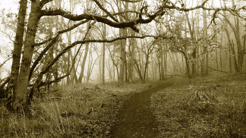
The vegetation on the butte reflected the diverse ecology of Lane County. The lower sections were often characterized by moss-draped big-leaf maples and tall Douglas-firs, while sword fern, trailing blackberry, and inside-out flowers lined the path. Near the summit, the air grew thinner and the trees changed, with incense cedar becoming more prominent.
However, the trail also required awareness of local hazards. Hikers frequently encountered nettles and poison oak throughout the butte. More significantly, the area was home to some of the last remaining rattlesnakes in the Willamette Valley, a reminder of why the Kalapuyan people named the peak Champ-a-te.
Summit Views and Regional Vistas
The reward for the climb was an unparalleled view of the region. From the 2,058-foot summit, the landscape unfolded to reveal the sprawling Willamette Valley, the shimmering waters of the Fern Ridge Reservoir, and the distant peaks of the Coast Range. On clear days, the snowy tips of the Three Sisters were visible on the horizon, connecting the city of Eugene to the high Cascades.
Observing the valley from this height highlighted the importance of local conservation efforts, such as the Planting a Salmon-Safe Landscape in Willamette Valley initiatives, which work to protect the watersheds that feed the rivers seen from the peak.
Alternative Access and the Ridgeline Trail
For those seeking a longer journey, the Spencer Butte Loop could be expanded by starting at the Willamette Street Trailhead. This route utilized the Ridgeline Trail, creating a 5-mile round-trip experience. This alternative path, often cited as an 8 km out-and-back route, involved approximately 375 meters of elevation gain and typically took between 2.5 and 3 hours to complete.
Because this route connected to the broader Ridgeline Trail system, it was often subject to the same environmental conditions as other high-elevation local spots. During the summer months, hikers often checked the Wildfire Season 2026: Lane County Smoke Outlook Trail to monitor air quality before heading out into the open ridges.
Final Takeaways from the Hike
The popularity of the park meant that trails were typically crowded, especially on weekends. Despite the traffic, the accessibility of the park ensured that nature remained within reach for all Eugene residents. Trail kiosks at the start provided essential mapping and safety information, ensuring that visitors could navigate the various spurs and loops safely.
Ultimately, the butte stood as a testament to Eugene’s commitment to public outdoor spaces, providing a vertical sanctuary in the heart of the city.